- Fly Tying
- Fly Fishing
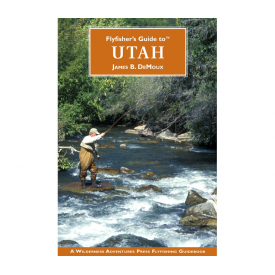
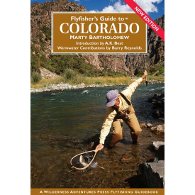
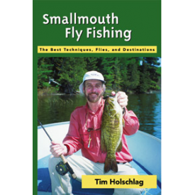
- Books & Dvds
- Fly Finds
-
Shop By Brand
- Abel
- ARC
- Bauer
- Billy Pate
- Brodin
- Bucks Bags
- Buff
- C&F DESIGN
- Chota
- Cliff
- Cortland Line Co.
- Daiichi
- Douglas
- Dr. Slick
- Dyna-King
- Echo
- Feather-Craft
- Firehole Outdoors
- Fishpond
- Flymen Fishing Company
- Frog Hair
- G. Loomis
- Galvan
- Gamakatsu
- Gear Keeper
- Griffin
- Hardy
- Hatch
- J:Son
- Korkers
- Lamson
- Loon
- Mason
- Measure Net
- Mustad
- Nautilus
- Oasis
- Hot New Items
- Catalogs
- Closeouts