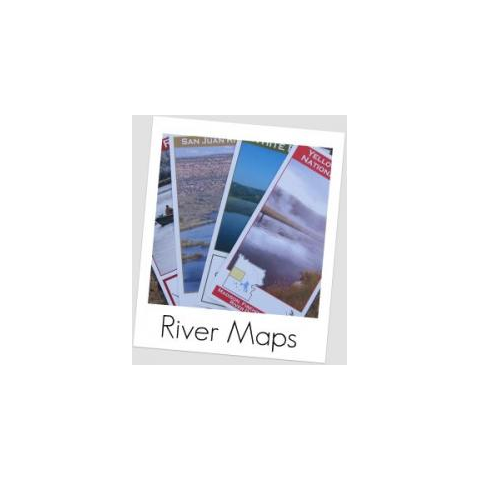
25% OFF! Michigan, Montana, Nevada, New Mexico, Ohio, Oregon River Maps NOW AVAILABLE: Over 60 detailed river maps! An essential tool for a successful fly fishing trip is a detailed map of the water. Full-color, tri-fold, 11 x 17" river maps include description of the water, GPS coordinates for all access points, access points & boat ramps, river miles, rapids, campgrounds, public land (both state and federal), roads, USGS land data, hatch chart and recommended flies. Fold up to 5-7/8 x 11", fits in your vest or the side pocket of your car. Just $9.95 each!
Choose from the following maps:
MICHIGAN
Huron River
Muskegon River
Rogue River
Little Manistee River
Big Manistee River
MONTANA
Bear Trap Canyon of the Madison River
Big Hole River
Big Horn River
Blackfoot River
Flathead River System
Gallatin River
Madison River
Rock Creek
South Fork Flathead River
Upper Missouri River
Clark's Fork River
Yellowstone River
NEVADA
Truckee River
NEW MEXICO
San Juan River
NEW YORK
Beaver Kill
Salmon River
OHIO
Little Miami
OREGON
Owyhee River
Grand Ronde River
Deschutes River